Find Your Daily Voice
Tag: Severe Thunderstorm Warning
Tornado Watches, Warnings Issued Across Parts Of NJ
Several parts of New Jersey were under tornado watches and warnings, as per the National Weather Service on Saturday, April 1.
Burlington and Mercer counties were under a tornado warning until 7:15 p.m., while parts of Browns Mills, Fort Dix, Hamilton Square, Marlton, West Freehold and White Horse were under the warning until between 7:30 and 7:45 p.m.
Meanwhile, Atlantic, Burlington, Camden, Cape May, Cumberland, Gloucester, Hunterdon, Mercer, Middlesex, Monmouth, Morris, Ocean, Salem, Somerset, Sussex and Warren counties were under a tornado watch until 10 p.m.
Severe Thunderstorm Wa…
Severe Thunderstorm Warning Issued For Westchester, 60 MPH Winds, Isolated Tornadoes Possible
A Severe Thunderstorm Warning is now in effect for much of the region as a new round of storms is expected to roll through with damaging winds and isolated tornadoes possible.
The warning went into effect Thursday, July 21 at 1:30 p.m. and lasts until 2 p.m.
At 1:28 p.m., a severe thunderstorm was located over Mount Kisco, moving northeast at 45 miles per hour, the National Weather Service said.
Golf ball-size hail and 60 mph wind gusts are possible, along with up to 2-inch diameter hail is possible.
"Expect hail damage to roofs, siding, windows, and vehicles," the weather …
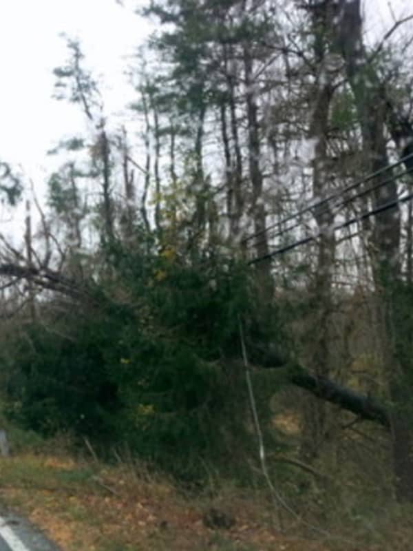
Possible Tornado Touches Down In Hudson Valley
Crews from the National Weather Service are on their way to New York's Hudson Valley to assess damage from a storm that many say produced a tornado.
The storms ripped through Dutchess County just before 3 p.m., on Wednesday, April 21, leaving in its wake downed power lines, split and toppled trees, and many without electricity.
Brian Montgomery, a lead meteorologist with the National Weather Service, said specialized crews left Albany early Thursday, April 22, and are expected in the Hopewell Junction area around noon to view damage in order to determine if a tornado touched down and if so,…
Thousands Without Power As Storm Slams Fairfield County
Thousands are without power in Fairfield County as a line of severe storms battered the area with heavy downpours, damaging winds and hail just as the evening commute began on Tuesday.
Among the areas hardest hit by outages as of 6 p.m., according to Eversource:
Brookfield, 5,656
Danbury, 6,623
Greenwich, 925
New Canaan, 392
New Fairfield, 3,944
Newtown, 5,931
Norwalk, 509
Ridgefield, 809
Shelton, 2,501
Stamford, 215
Westport, 468
A Severe Thunderstorm Warning in effect for the area expired at 5:45 p.m. Tuesday. A Flood Advisory was issued at 4 p.m. and expired at 6 p.m. Tuesday. Tornado w…
Thousands Without Power As Storm Slams Westchester
This story has been updated.
Thousands are without power in Westchester and Putnam as a line of severe storms battered the area with heavy downpours, damaging winds and hail just as the evening commute began on Tuesday.
As of 7:30 p.m. on Tuesday, NYSEG reported 22,081 outages among its 32,806 customers in the areas it serves in Northern Westchester.
In Putnam, 27,705 of 38,310 customers were without power.
Con Ed reported 325 outages impacting 5,015 customers, including more than 300 customers in Sleepy Hollow, Ossining, Cortlandt, Eastchester, Irvington, Ossining, Yonkers and Bedford…