Find Your Daily Voice
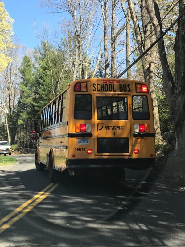
Snow Day! Weather Closes Schools Across Virginia
Schools across Northern Virginia are closed Tuesday, Jan. 16 due to the snow.
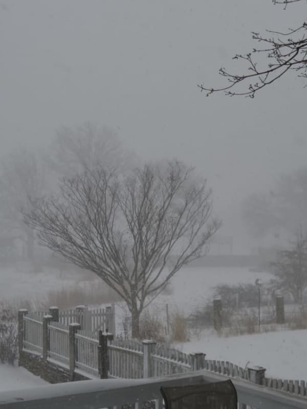
Snow began falling across the region Monday, Jan. 15, and is expected to turn to a wintry mix overnight.
All Fairfax, Stafford, Loudoun, Prince William, Alexandria, and Arlington public schools will be closed on Tuesday.
The National Weather Service shows Northern Virginia is expected to see 1 to 3 inches by the end of the night Monday, Jan. 15.
Rain, snow, and freezing rain will fall likely before noon, with another chance of snow later in the day, making for hazardous road conditions.
Crashes Reported On I-684, Taconic, Cross County Parkways
Light snow and slippery roads have resulted in some crashes in the area on Friday morning, Feb. 19.
New York State Police reported several crashes, including one in Bedford that slowed traffic earlier on I-684. But state police said that, overall, there have not been a large number of crashes.
"We haven't experienced any significant crashes this morning," said Trooper AJ Hicks.
There was another crash on the Cross County Parkway in New Rochelle, but police said there were no major backups from the crash.
Later in the morning, a crash caused delays on the Taconic Parkway in New Castle and,…
30 Roads Completely Shut Down During Second Nor'easter, Wilton PD Says
As snow is falling again, the Wilton Police Department is reporting that at the height of the March 7 and 8 Nor'easter, the second Nor'easter to hit the area in a 10-day span, 30 roads were closed.
During the storm, the department responded to 211 calls for service, including four for traffic accidents and 141 calls related to road conditions such as downed trees and utility wires, the department reported.
In total, 192 separate locations were identified on more than 100 roads with either downed trees or wires.
At the height of the storm, more than 30 roads were completely closed, police s…


![Black Ice Causes Massive String Of Crashes, Delays On Route 80 [PHOTOS]](https://cdn.dailyvoice.com/image/upload/c_fill,dpr_2,f_auto,g_faces,h_300,q_auto:eco,w_450/Image_from_iOS_6_zxwhlm.jpg)
![Black Ice Causes Massive String Of Crashes, Delays On Route 80 [PHOTOS]](https://cdn.dailyvoice.com/image/upload/c_fill,dpr_2,f_auto,g_faces,h_400,q_auto:eco,w_600/Image_from_iOS_6_zxwhlm.jpg)