Find Your Daily Voice
Latest Forecast Says Jersey Shore Towns Could Be Walloped With Most Snow In NJ (Details)
After several storms brought rain, wind, and wintry weather to the Jersey Shore to start 2024, cities and towns are bracing for what could be the heaviest snowfall along the coast so far this winter.
Parts of South Jersey could see up to six inches of snow on Friday, Jan. 18 — the highest amounts predicted across all of the the Garden State, according to the National Weather Service.
Burlington, Camden, Gloucester, Monmouth, Ocean, and Salem counties are under a winter storm warning until 10 p.m.
⚠️❄️ Forecast snowfall totals have increased slightly across the area. Snow will beg…
Sunday Snow Squalls Possible In Parts Of DMV Region, Forecasters Caution
Another storm may bring upwards of an inch of snow to parts of Maryland, Virginia, and DC on Sunday, according to forecasters.
While the DMV region won't face the same perils that forced the NFL to postpone the Buffalo Bills playoff game in upstate New York, some parts of the area may see a wintry mix on Jan. 14 as they celebrate the holiday weekend.
Temperatures began cooling down on Saturday, with a cold front heading in that could bring whipping winds, some snow showers, and other inclement weather, officials say.
Behind a cold front, temperatures will cool off through the day. This …
Cold Front Will Bring Line Of Showers, Possible Storms, Followed By Shift In Temps
A cold front will move through the region accompanied by precipitation and followed by a drop in temperatures.
Ahead of the late-day arrival of the front on Wednesday, May 24, skies will be mainly clear, according to the National Weather Service. The high temperature will be in the mid-70s.
A line of showers will accompany the front, with a slight chance of thunderstorms, late Wednesday afternoon into the early evening.
The front will sweep southward, causing a sharp drop in temperatures, starting in areas farther north and inland and continuing in the evening into Thursday, May 25. (See t…
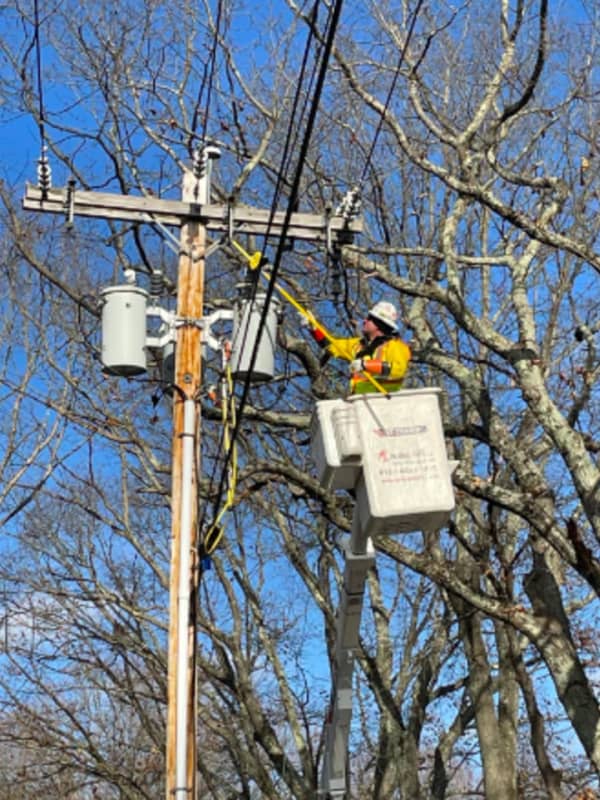
New Update: Here's Latest Rundown Of Power Outages In Fairfield County
The most dangerous wind gusts that accompanied a cold front that is moving through the region have passed, but thousands remain without power in Connecticut.
As of around 9 a.m. Saturday, Feb. 4, Eversource is reporting around 3,500 outages statewide, with United Illuminating reporting around 55 outages in its service territory.
These municipalities are reporting the most outages:
Colchester, 570
Woodstock, 374
Greenwich, 263
Danbury, 164
Westport, 92
Related story: Dangerously Cold Wind Chills Will Be Followed By Big Change In Weather Pattern
After The Storm: Bitter Cold For Christmas Eve, Xmas Day Before Big Change In Weather Pattern
Let's hope Santa Claus is wearing an extra pair or two of long johns.
That's because Christmas Eve and Christmas Day will be the coldest in decades.
A powerful, massive storm that brought a mix of heavy rain, damaging winds, sleet, and snow, has now moved off the coast, but the passage of a cold front accompanying the system has led to a dramatic dip in temperatures.
The wind-chill factor on Christmas Eve on Saturday morning, Dec. 24 is below zero degrees in most of the region.
After a sunny start, clouds will increase during the day, but the high temperature will only be in the mid to up…
After The Storm: Bitter Cold For Christmas Eve, Xmas Day Before Big Change In Weather Pattern
Let's hope Santa Claus is wearing an extra pair -- or two -- of long johns.
That's because Christmas Eve and Christmas Day will be the coldest in decades.
A powerful, massive storm that brought a mix of heavy rain, damaging winds, sleet, and snow, has now moved off the coast, but the passage of a cold front accompanying the system has led to a dramatic dip in temperatures.
The wind-chill factor on Christmas Eve on Saturday morning, Dec. 24 is below zero degrees in most of the region.
After a sunny start, clouds will increase during the day, but the high temperature will only be in the mid…