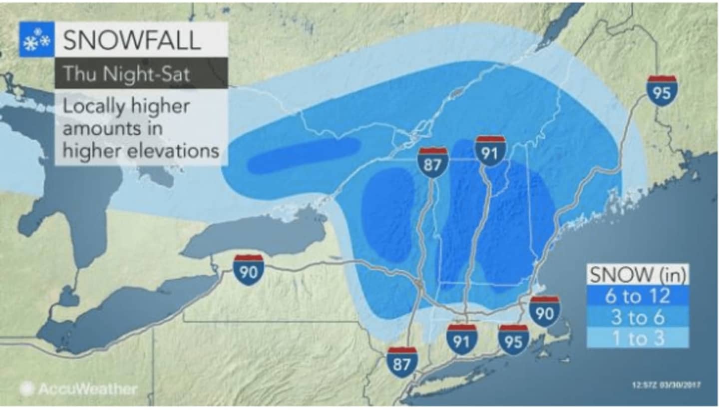

While there is the potential for periods of a wintry mix in the Hudson Valley, snowfall accumulations should be limited to well north of Interstate 84.
The Lower Hudson Valley, including Putnam, should see little or no accumulation of snow. Farther north, parts of Dutchess could see up to 2 inches of accumulation.
Rain is expected to arrive after midnight Thursday before overspreading the area Friday morning when there is a 100 percent chance of precipitation.
Friday's high will be in the upper-30s with wind-chill values between 25 and 30. The rain may mix with sleet, freezing rain and even snow at times, and a light slushy accumulation is possible.
Friday night will be breezy with wind gusts as high as 32 mph.
Rain will hang around Saturday morning before tapering off in the afternoon. The high temperature will reach the low-40s.
The sun returns Sunday will a high temperature in the low-50s.
Check back to Daily Voice for updates.
Click here to follow Daily Voice Cortlandt and receive free news updates.