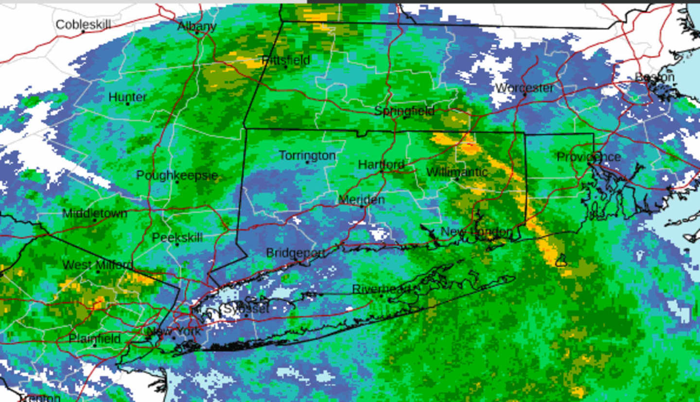
Showers and scattered storms with moderate to heavy downpours that arrived overnight will taper off from south to north late Saturday morning, June 24 with a warm front passing, according to the National Weather Service.
A new round of storms will redevelop Saturday afternoon and evening, particularly for interior areas.
High temperatures are expected to be a bit cooler than normal levels thanks to ample cloud cover, the National Weather Service noted.
Saturday's high temperature will generally be in the upper 70s.
Sunday, June 25 won't be quite as rainy as Saturday. In fact, there will be peeks of sun at times, helping the high temperature climb into the low 80s.
More showers and storms are possible anytime during the day and evening.
Monday, June 26 will be mostly cloudy with showers likely and possibly a thunderstorm from the mid-afternoon through the evening. The high temperature will be around 80 degrees. Up to a half-inch to nearly an inch of rainfall is possible on Monday.
Tuesday, June 27 will see more showers, with a possible isolated thunderstorm, and a high temperature in the mid-70s. About a half-inch of rainfall is possible.
Storms could return overnight into Wednesday morning, June 28, and then again in the mid-afternoon into early evening.
Some of the storms could produce heavy rainfall.
The high temperature will generally be in the upper 70s.
Check back to Daily Voice for updates.
Click here to follow Daily Voice Cortlandt and receive free news updates.